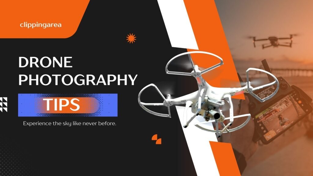
Are you a budding drone photographer wondering how to price your services? Look no further! Our comprehensive guide, ‘How Much To Charge For Drone Photography’, offers expert insights and practical tips to help you determine fair pricing for your aerial photography services.
Whether you’re capturing stunning landscapes or providing real estate aerial shots, this guide will ensure you’re compensated fairly for your skills and equipment. Say goodbye to undercharging or overpricing – let our guide streamline your pricing strategy and maximize your earning potential. Start earning what you deserve today!
Related: Top 10 Mirrorless Camera For Real Estate Photography
Why Use a Drone for Real Estate Photography?
Using a drone for real estate photography offers a unique perspective that traditional photography methods can’t match. With aerial shots, potential buyers get a comprehensive view of the property, showcasing its size, layout, and surrounding environment.
Drones can capture stunning high-resolution images and videos, highlighting key selling points such as architectural features, landscaping, and proximity to amenities.
This technology allows real estate agents to market properties more effectively, attracting a wider audience and increasing the likelihood of a quick sale.
Additionally, drones provide cost-effective solutions compared to hiring helicopters or planes for aerial photography, making it accessible to a broader range of real estate professionals. Moreover, drones offer safety benefits by eliminating the need for photographers to climb ladders or access risky vantage points, reducing the risk of accidents and liability issues.
Overall, incorporating drones into real estate photography enhances the presentation of properties, ultimately leading to faster transactions and happier clients.
Benefits of Drone Photography
Drone photography offers a myriad of benefits, revolutionizing various industries and personal endeavors. Firstly, it provides unparalleled access to aerial perspectives, capturing breathtaking views and landscapes with ease. This technology has been invaluable in real estate, allowing agents to showcase properties from unique angles, enhancing marketing efforts, and attracting potential buyers.
Moreover, in agriculture, drone photography assists farmers in monitoring crop health, identifying areas of concern, and optimizing yield through precision agriculture techniques. Additionally, in the construction sector, drones streamline site surveys, progress monitoring, and project management, improving efficiency and reducing costs.
For outdoor enthusiasts, drones offer the thrill of capturing adventurous moments like hiking, camping, or extreme sports from a bird’s eye view, adding a new dimension to personal storytelling and memories. Furthermore, in disaster relief efforts, drones aid in assessing damage, locating survivors, and coordinating rescue missions, proving invaluable in emergency situations.
How much should I charge per drone photo?
When considering how much to charge per drone photo, it’s essential to evaluate the scope and complexity of the project. For general photography or videography, a standard rate of $200 per hour plus mileage is a good starting point.
For real estate photography, where you typically capture 10-20 processed images or provide a walkthrough of a single location, a flat rate of $225 per property ensures transparency and simplicity for clients.
If you’re offering asset or property ortho mapping services, considering the technical expertise and equipment involved, charging $250 per hour plus mileage is reasonable.
Finally, for a comprehensive video production package including both photos and videos along with a promotional video up to two minutes long, pricing it at $700 provides clients with a bundled value while ensuring your work is fairly compensated.
These rates reflect a balance between the value of your services and the expectations of your clients, allowing you to provide quality work while also sustaining your business.
What to Think of When Taking Drone Photos
1. Safety First: Always ensure that you’re operating your drone in a safe manner, away from people, buildings, and other aircraft. Familiarize yourself with local regulations and airspace restrictions before taking off.
2. Plan Your Shot: Before launching your drone, have a clear vision of what you want to capture. Scout the location, consider lighting conditions, and think about composition to create stunning aerial imagery.
3. Mind the Weather: Keep an eye on the weather forecast before flying your drone. Wind, rain, and fog can all affect your drone’s performance and the quality of your photos. Sunny days with clear skies often provide the best lighting conditions.
4. Check Your Equipment: Regularly inspect your drone and camera equipment for any signs of damage or malfunction. Ensure that your batteries are fully charged and that you have enough storage space for your photos and videos.
5. Respect Privacy: Be mindful of people’s privacy when taking drone photos. Avoid flying over private property without permission, and refrain from capturing images of individuals without their consent.
6. Experiment with Angles: Don’t be afraid to experiment with different angles and perspectives to add variety to your drone photos. Try shooting from low to the ground or from higher altitudes to capture unique views of your subject.
7. Edit with Care: While post-processing can enhance your drone photos, avoid over-editing them to the point where they look unrealistic. Aim for natural-looking results that highlight the beauty of the scene you captured.
8. Learn from Others: Join online communities and forums dedicated to drone photography to learn from experienced photographers and share your own experiences. Collaborating with others can help you improve your skills and discover new techniques.
9. Practice, Practice, Practice: Like any other form of photography, drone photography requires practice to master. Take every opportunity to fly your drone and hone your skills, whether it’s in your backyard or at a scenic location.
10. Respect Nature: When taking drone photos in natural environments, take care to minimize your impact on the landscape. Avoid disturbing wildlife and adhere to any conservation guidelines or regulations in place.
Is drone photography profitable?
Yes, drone photography can be profitable! With high-quality equipment and marketing, drone photographers can command premium rates for their services in various fields like real estate, construction, and events. But your success depends on factors like your skills, experience, niche, and local market.
5 Best Drones For Real Estate Photography In 2024
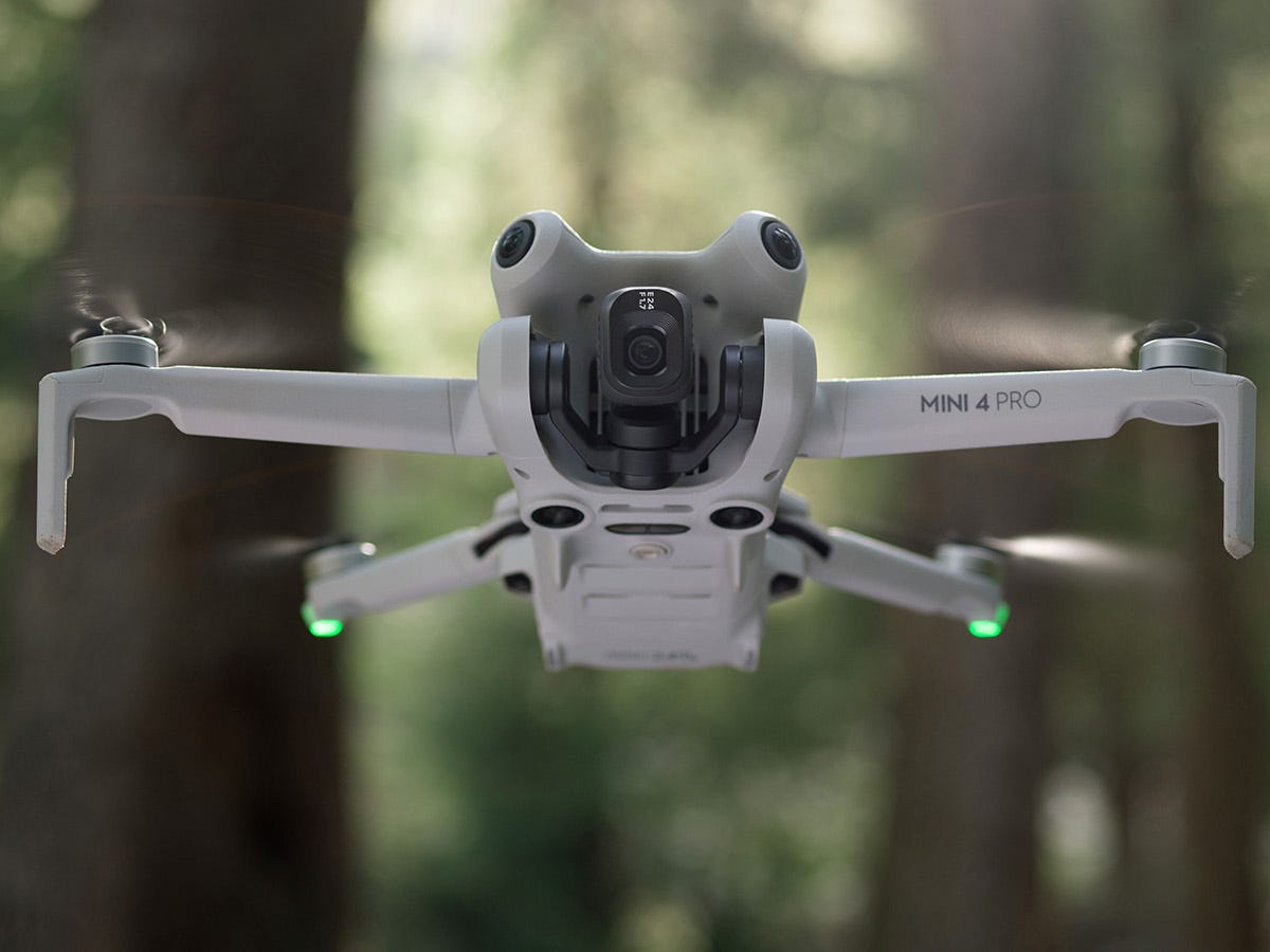
1. DJI Mini 4 Pro
The DJI Mini 4 Pro is a powerful and portable drone under 249 grams, allowing for license-free flight in most areas. It captures stunning 4K/60fps HDR video with its 1/1.3-inch CMOS sensor and 3-axis motorized gimbal. With omnidirectional obstacle sensing and a max flight time of up to 45 minutes, it’s great for both beginners and experienced flyers.
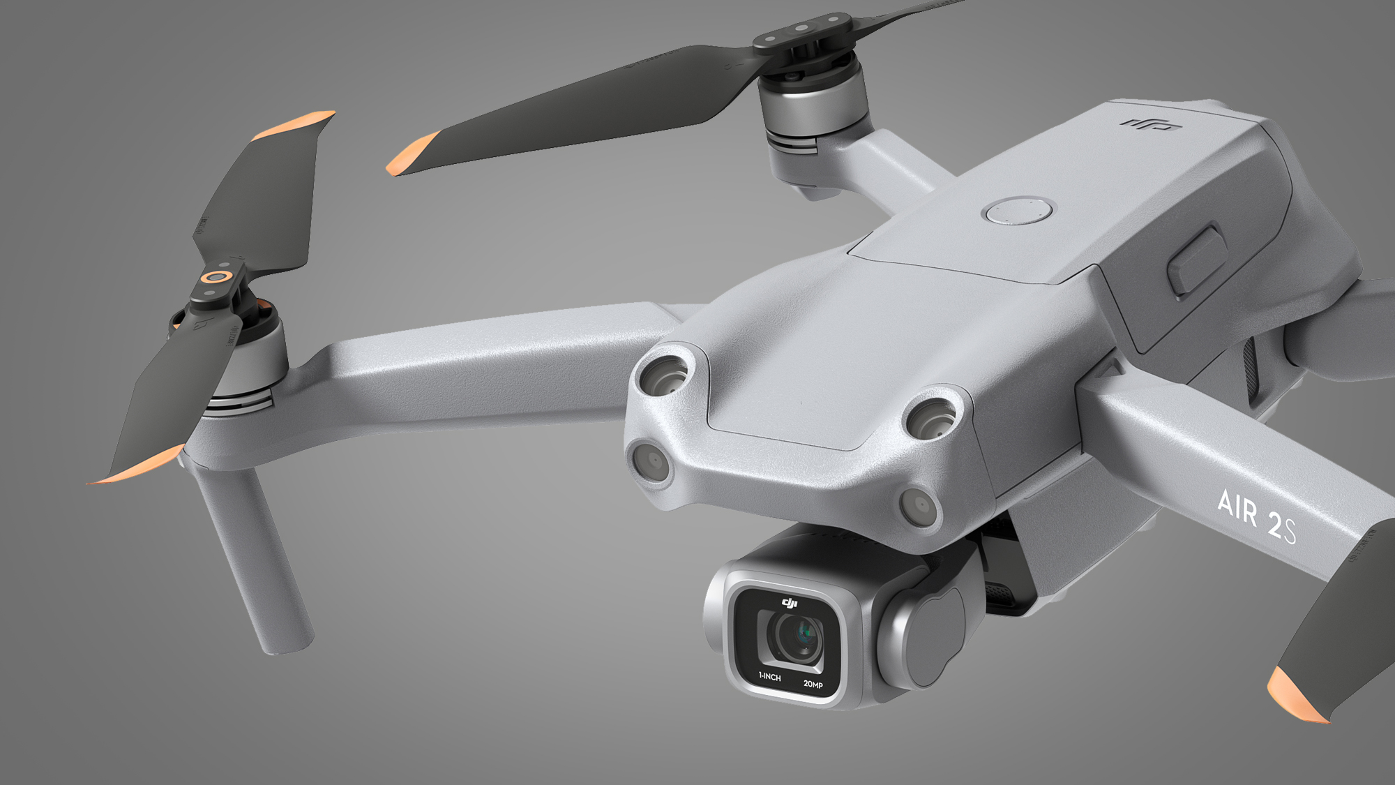
2. DJI Mavic Air 2S
The DJI Mavic Air 2S is a powerful, foldable drone with a compact design. It boasts a 1-inch CMOS sensor capable of capturing stunning 5.4K video and 20MP photos. For safer flight, it features omnidirectional obstacle sensing and a max flight time of 31 minutes.
3. DJI Mavic Air 3
The DJI Mavic Air 3 is a foldable drone with a powerful dual-camera system. It captures stunning 48MP photos and 4K/60fps HDR videos. With a max flight time of 46 minutes and omnidirectional obstacle sensing, it offers extended range and safety for capturing breathtaking aerial footage.
4. DJI Mavic 3 Pro
The DJI Mavic 3 Pro is a top-of-the-line foldable drone with a Hasselblad camera. It captures stunning 5.1K video and 48MP photos thanks to its large 4/3 CMOS sensor. It boasts intelligent obstacle avoidance for safer flight, a long battery life, and omnidirectional motion sensors for smooth, stable footage.
5. DJI Phantom 4 Pro V2.0
The DJI Phantom 4 Pro V2.0 is a high-end drone ideal for professional photographers and videographers. It boasts a 1-inch 20-megapixel camera that shoots stunning 4K/60fps video and captures crisp photos. Safety features like five-direction obstacle sensing make it easier to fly without worry.
How much does drone imagery cost?
The cost of drone imagery can vary depending on several factors such as the complexity of the project, the resolution and quality of the imagery required, the location, and any additional services needed like post-processing or analysis.
On average, basic drone imagery services may start at around $100-$200 per hour. For more specialized or extensive projects, costs can range from a few hundred to several thousand dollars.
It’s best to consult with drone service providers or companies specializing in aerial imaging to get accurate quotes tailored to your specific needs.
How Much to Charge for Drone Real Estate Photography?
Determining the cost for drone real estate photography depends on several factors such as location, complexity of the property, duration of the shoot, editing requirements, and market demand.
Typically, prices can range from $200 to $500 per session for basic packages, while more comprehensive packages with advanced editing and additional services can go up to $1000 or more.
It’s essential to assess your expenses, equipment maintenance, and expertise when setting your rates, ensuring they cover your costs and provide a fair return on investment for your skills and time.
Additionally, researching competitors’ rates in your area can help you remain competitive while still valuing your services appropriately.
Is real estate drone photography worth it?
Yes, real estate drone photography is definitely worth it in 2024. Aerial photography offers a unique perspective that can make listings stand out in a crowded market. It provides potential buyers with a comprehensive view of the property and its surroundings, highlighting key features like size, layout, and amenities.
This visual appeal can attract more attention online and lead to increased inquiries and faster sales. Additionally, drone photography showcases properties in a dynamic and engaging way, helping to create a lasting impression on potential buyers.
Overall, investing in real estate drone photography is a smart decision for agents looking to maximize the impact of their listings and stay competitive in today’s market.
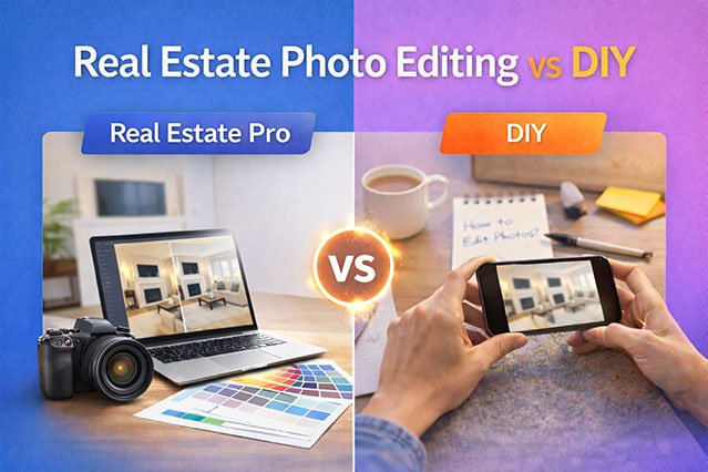
Edit Your Drone Real Estate Photography With Clipping Area!
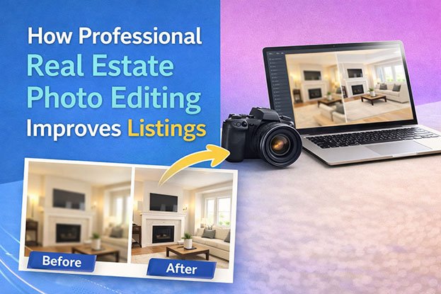
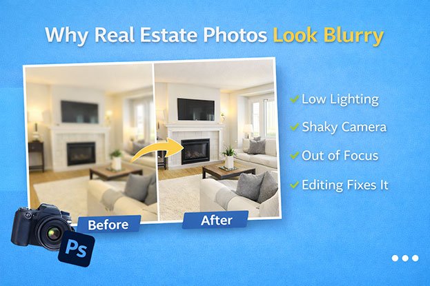
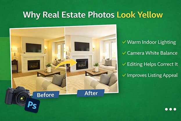
Enhance the allure of your drone real estate photography with Clipping Area! Our expert photo editing services bring out the best in your aerial shots, ensuring they captivate potential buyers.
From perfecting lighting and colors to removing imperfections, our skilled editors elevate your images to showcase properties at their finest.
Trust Clipping Area to transform your drone captures into stunning visuals that make a lasting impression. Elevate your real estate listings today with our professional editing services!
